


MIDDLETOWN Voting District, Des Moines County, Iowa
About
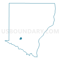
Outline

Summary
| Unique Area Identifier | 581996 |
| Name | MIDDLETOWN Voting District |
| County | Des Moines County |
| State | Iowa |
| Area (square miles) | 0.61 |
| Land Area (square miles) | 0.61 |
| Water Area (square miles) | 0.00 |
| % of Land Area | 100.00 |
| % of Water Area | 0.00 |
| Latitude of the Internal Point | 40.82734050 |
| Longtitude of the Internal Point | -91.26222110 |
Maps


Graphs
Select a template below for downloading or customizing gragh for MIDDLETOWN Voting District, Des Moines County, Iowa


Neighbors
Neighoring Voting District (by Name) Neighboring Voting District on the Map
- DANVILLE TWP W/DANVILLE Voting District, Des Moines County, IA
- FLINT RIVER TWP Voting District, Des Moines County, IA
Top 10 Neighboring County Subdivision (by Population) Neighboring County Subdivision on the Map
- Flint River township, Des Moines County, IA (2,227)
- Danville township, Des Moines County, IA (759)
- Middletown city, Des Moines County, IA (318)